Spectral Analysis
We have experience in the extraction of information based on spectral analysis of remote sensing images. We apply different techniques depending on the type of image used for the study and we have experience not only over multispectral/hyperspectral images (including thermal wavelength), also over SAR images with different band configurations.
Everything starts with the analysis of the problem to be solved. This is followed by necessary data definition to satisfy the user needs and then we apply the techniques over the images to obtain the results expected by the client.
Some examples of our experience are as follows:
- Delimitation of flooded regions in inaccessible areas of the jungle using SAR images.
- Anomaly detection of geologic formations associated to surface deposits of gold.
An example: Flooded Regions in inaccessible areas of the jungle
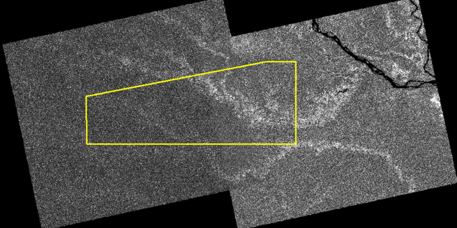
Alos Palsar mosaic over a rain forest region (wide regional analysis)

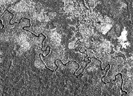
Detailed image of intensity of an Alos Palsar image (intensity analysis)

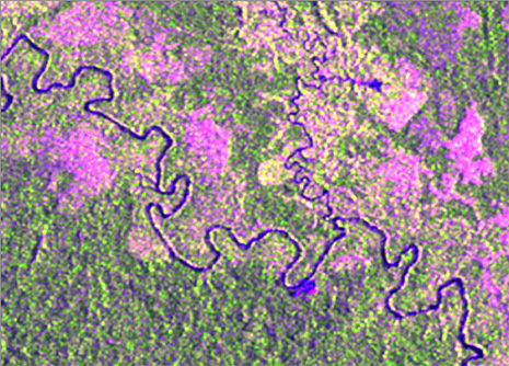
Polarimetric analysis of the same area, looking towards a specific reflection associated with a specific land cover associated with flooded areas

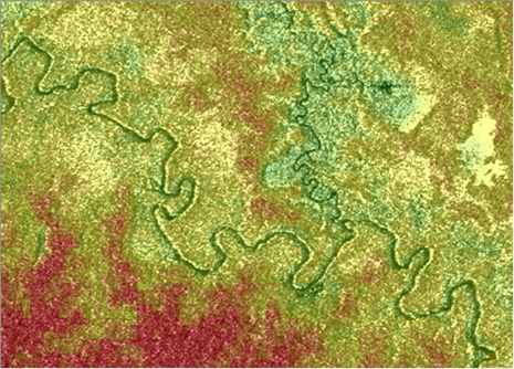
Relief analysis in relation with the SAR reflection

Flood area delimitation based on polarimetry and relief analysis


