Basic Cartography - Topography
Why use satellite images for cartography/topography projects?
- Wide coverage areas of territory are covered in one satellite acquisition (between 25-250km2).
- This amplitude permit create the cartography for the windpark layout and the evacuation line to the nearest substation before that the definition of the final path of the evacuation line (5km width corridor over the image), this open the selection of different solutions without increasing the final cost and also advance time in the project.
- The classical methods for topography cannot compete in cost with this wide area coverage, and are dependent of the final layout definitions to start the works (retarding time in the schedule and also in some cases re-working).
- The satellite data don’t require local/official permission to acquire the information.
Our solution for this type of projects?
- VHR images from the latest satellites available, with spatial resolution from 0.3m to 1m pixel, depending on the needs of the client for the representation scale.
- Stereo configuration in order to extract the DTM/DSM and heights of objects if needed.
- High positional accuracy of the images using field GPS measurements (centimeter accuracy) to achieve the required precision for the client.
Other solutions based on airborne vehicles:
- If the scale/precision requirements cannot be fulfilled by satellite acquisitions, we have the alternative of the use of Unmanned Aerial Vehicles (UAV/drones) to make the imagery acquisition and then the cartography/topography generation.
Processing steps:
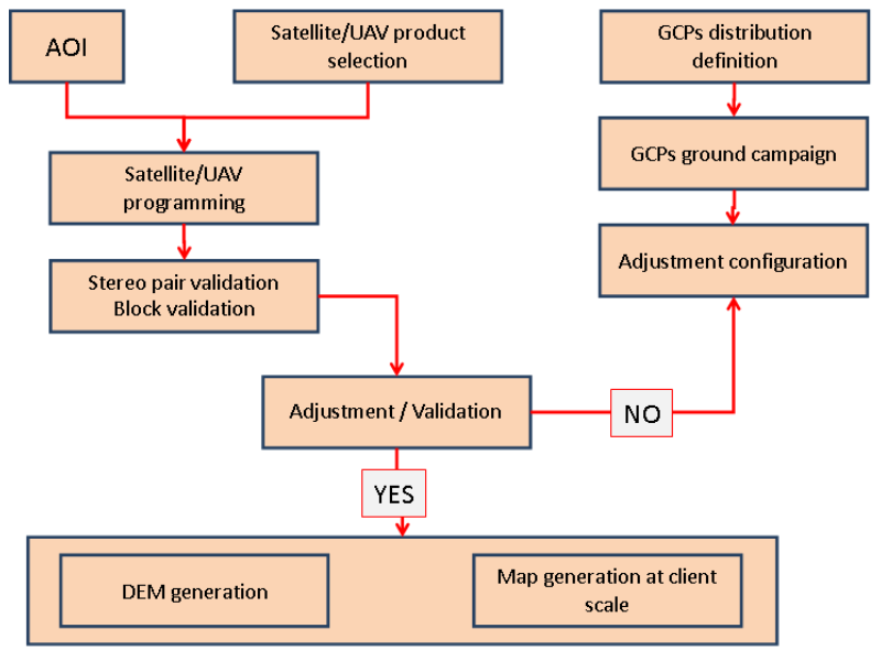
Some examples:
Our examples for Basic Cartography - Topography can be divided into 2 categories:
- Remote Sensing based Cartography - Topography
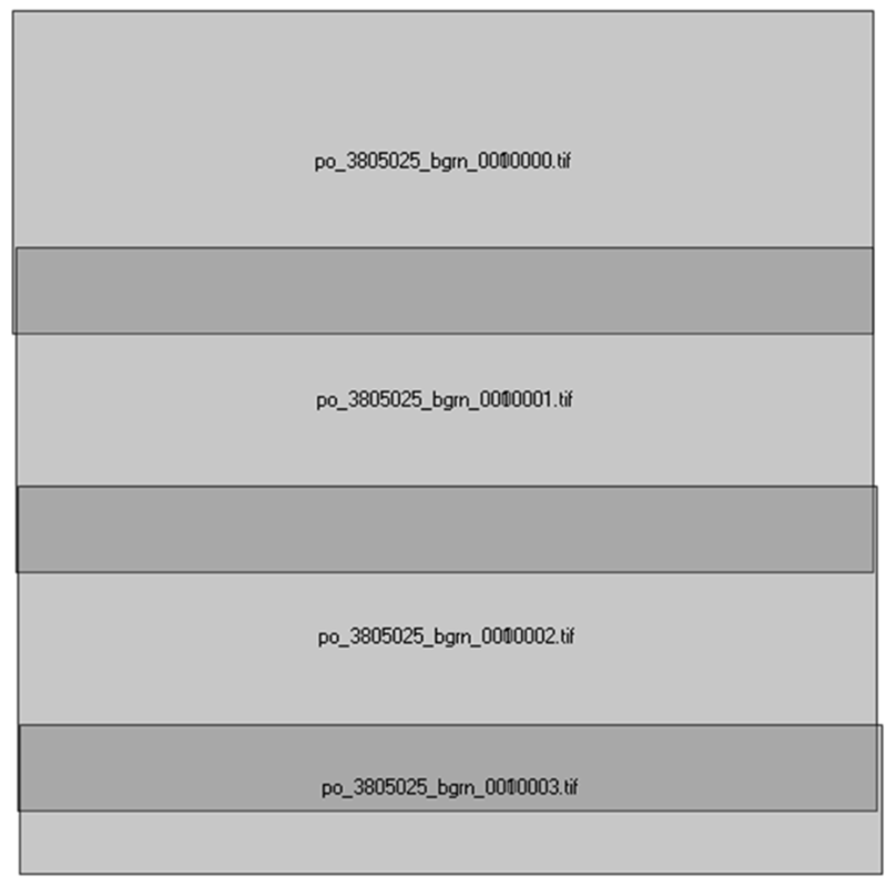
Block of Geoeye stereo pairs to cover the area of interest (100 km2)
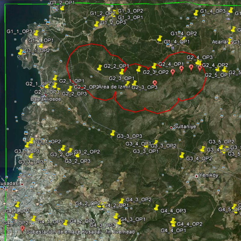
GCPs planning to adjust the geometry and obtain the needed accuracy
Block of Geoeye images to cover the area of interest (100 km2)
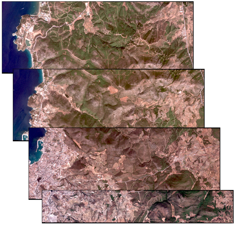
Basic topography example
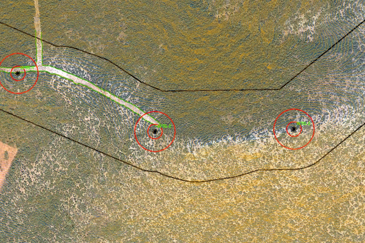
Access detail to the Turbine Layout
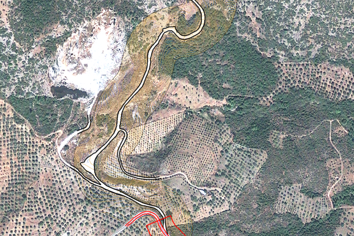
- And, Classical Approach Cartography - Topography:
High detail Topo map at 1/200 scale using TPS+GPS
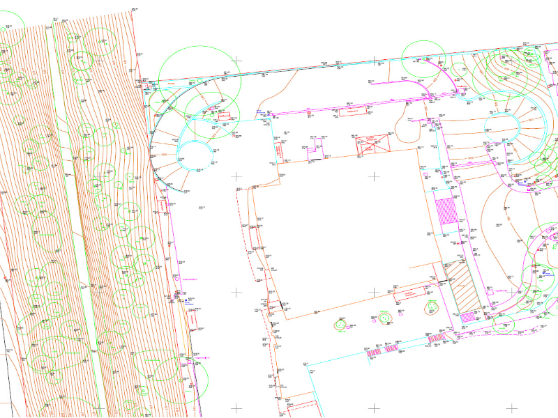
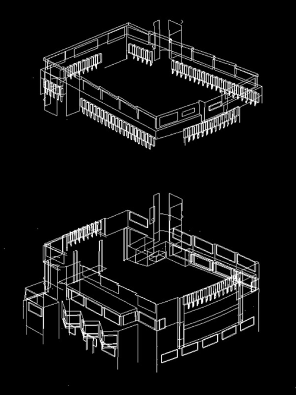
Vertical topo maps for architectural purposes. 3D view of a building (scale 1/200)
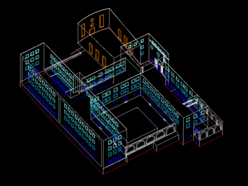
Vertical topo maps for architectural purposes. 3D view of the top and base of a building. (scale 1/200)
