Search and Find
We use GIS technology to search and find desired sites for our clients. We use multi-criteria analysis methodology in order to achieve these tasks.
The multi-criteria analysis is based on the exploration of the territory from differents points of view:
- Using remote sensing data from airborne/spatial platforms.
- Basic cartography (digital or analogic)
- Thematic Cartography of specific interest.
- Databases without geospatial reference.
- Other sources.
All of this information is gathered from different sources with different types of data. We apply different procedures to this data on order to have a normalised data structure that allows us to compare it and work on it.
It is necessary for the multi-criteria analysis a clear definition of restrictions (binary) and factors (quantitative and normalised). All this data is generated using the information that come from very different sources as described above.
An example: Search and Find Wind Park Sites
Objective: Search and Find different sizes of available sites for Wind Park development in Western Anatolia Region (Turkey)
Some of the key factors (quantitative and normalised):
Wind resource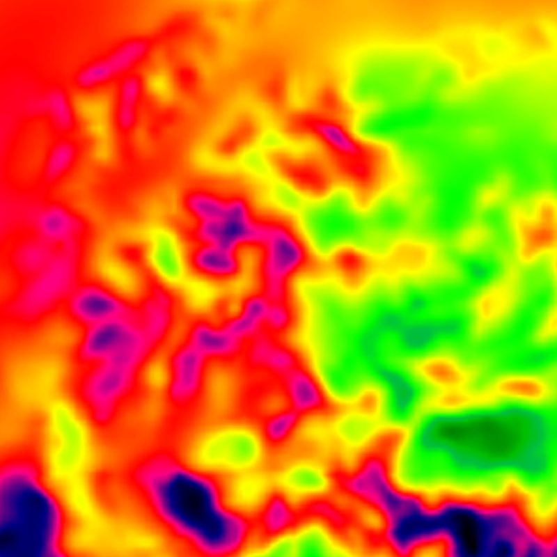 |
Land use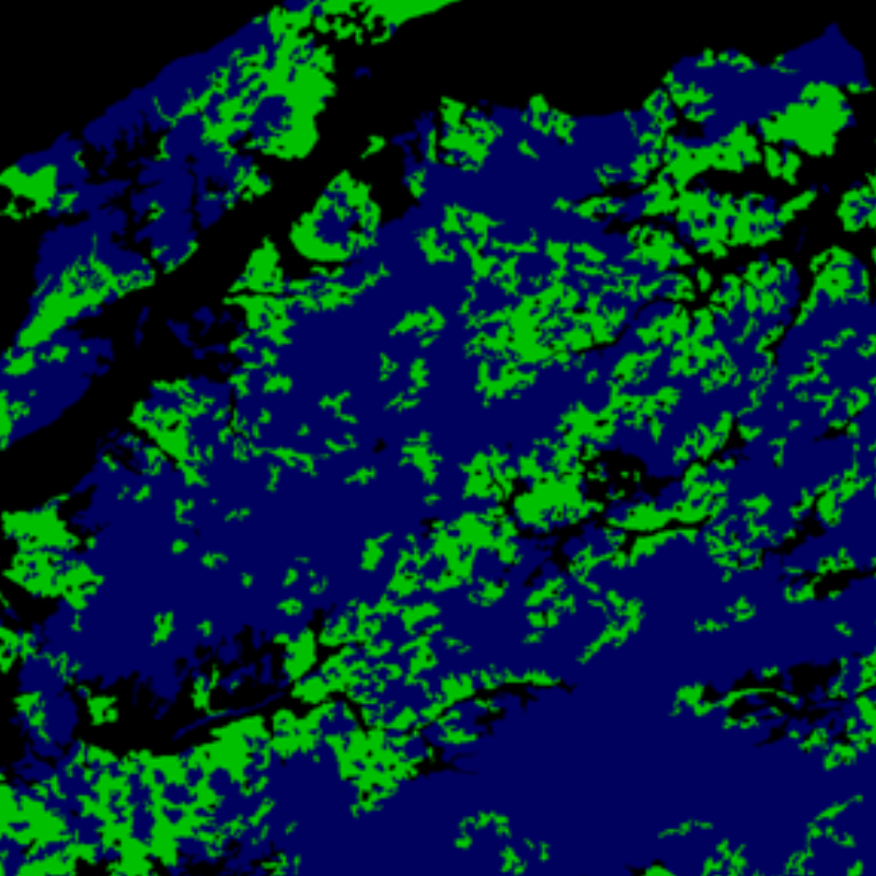 |
Land use variability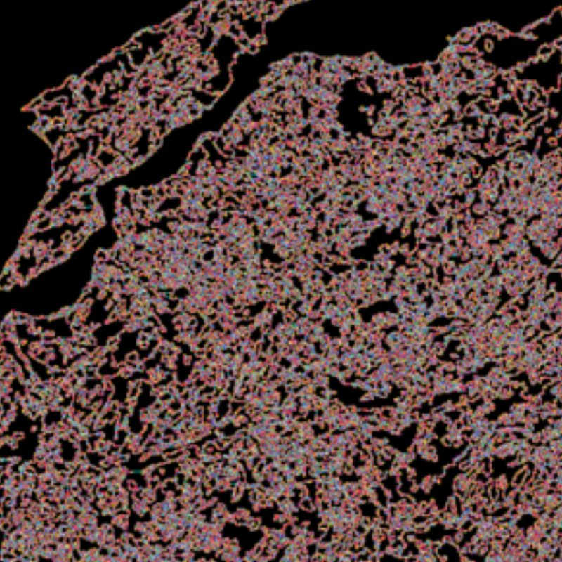 |
Substation Analysis |
Slope Analysis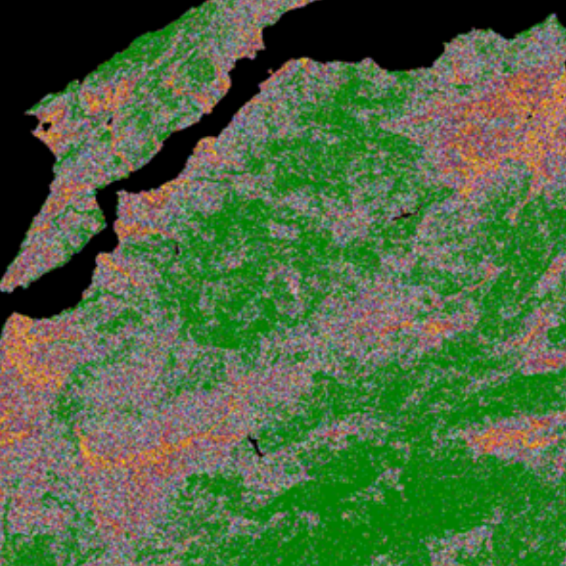 |
Elevation Analysis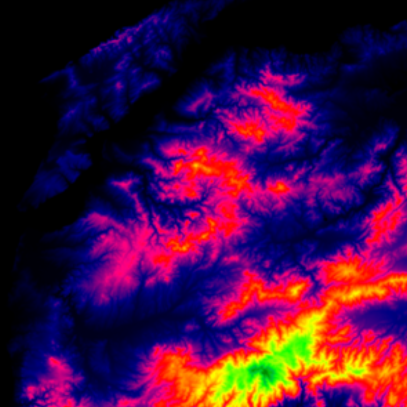 |
Access Analysis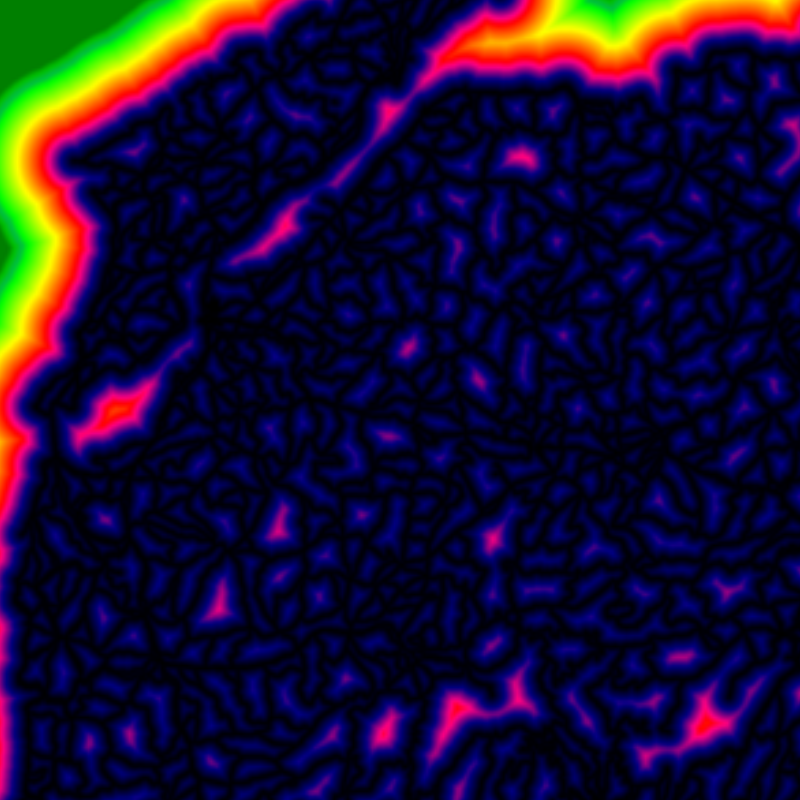 |
Proximity Analysis |
Some of the restrictions (binary):
Wind Limit |
Substation Proximity Limit |
Prohibited Areas |
Other Conflictive Areas |
Urban Areas |
Protected Areas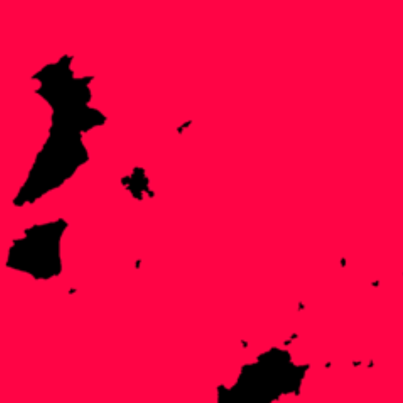 |
Landuse Availability |
Slope Limit |
Results (after multi-criteria analysis):
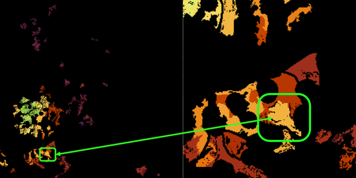
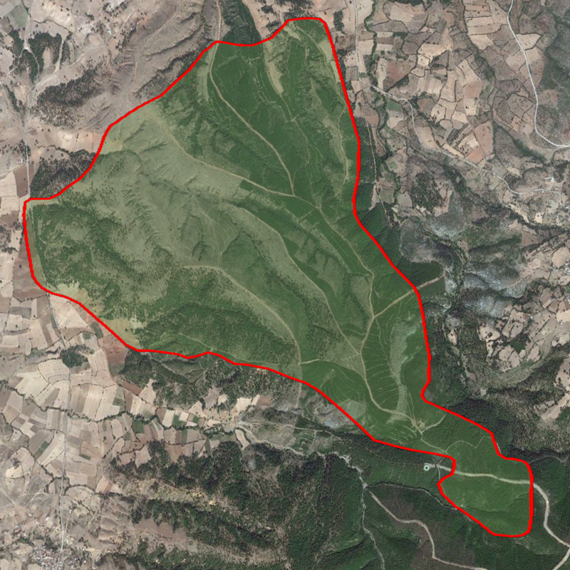
Finally, the candidate site for Wind Park (satellite imagery with vectorial data):